
Navigate Jackson Township Streets by Address
A Jackson Township street directory works best as a record trail, not as a list of everyone on a road. Start with the way the address is written in the postal and county systems. A street name can appear with a different suffix, a nearby postal city, or a community label. The tax account supplies the parcel key. The map adds the parcel’s setting. The clerk index then supplies recorded instrument details. Each source answers a different question, and none alone proves who is currently at a location.
- Check the exact delivery form with USPS ZIP Lookup, then compare it with the Jackson road or county map. Keep directional words and road-type suffixes consistent.
- Use the Ocean County Tax Board search to locate Jackson Township and capture the property location, block, lot, qualifier, and class.
- Open the same area in the Ocean County GIS mapping hub. Review the parcel and any relevant boundary or planning layers.
- Search the parcel identifiers, legal-description line, dates, and party names in the County Clerk’s recorded-instrument index. Save the instrument number and recording date before moving backward.
- For a lawful street-level voter question, use the County Election Board’s signed request route. For an older household question, ask the library or historical society about a dated directory, newspaper, or census source.
That sequence keeps a Jackson Township address search anchored to source dates. A tax list is assessment data, a parcel polygon is mapped geometry, and a deed index reports a filing. The sequence also prevents an address search from confusing a mailing address with a situs, the physical location assigned to a parcel.
Use Jackson Township Tax Board Keys
The County Tax Board search is the practical first record for an address-based Jackson Township inquiry. It offers municipality, block, lot, qualifier, property class, and property-location fields. A street query may find the parcel, but the block, lot, and qualifier are steadier identifiers when an address has changed after a subdivision or when a street spelling varies. The portal does not state a current coverage date in its form, and its data are not title proof.
| Tax Board field | How it helps an address search |
|---|---|
| Municipality | Select Jackson Township to avoid a similarly named place or nearby postal city. |
| Block, lot, qualifier | Capture the tax-map identifiers before checking recorded documents or municipal maps. |
| Property location | Search the indexed street form after normalizing abbreviations and directional terms. |
| Property class | Read it as an assessment classification, not a description of occupants. |
| Assessment values | Keep the tax year with any value and do not treat it as a sale-price conclusion. |
The Jackson Township Municipal Tax Assessor can answer assessor and inspection questions. The office lists roughly 21,000 parcels and notes a county-ordered full revaluation, but annual assessment material should remain dated. A mailing field, if an official source displays one, can differ from the situs address and may be protected or redacted.
See the Jackson Township assessor page before contacting the office about a parcel question.
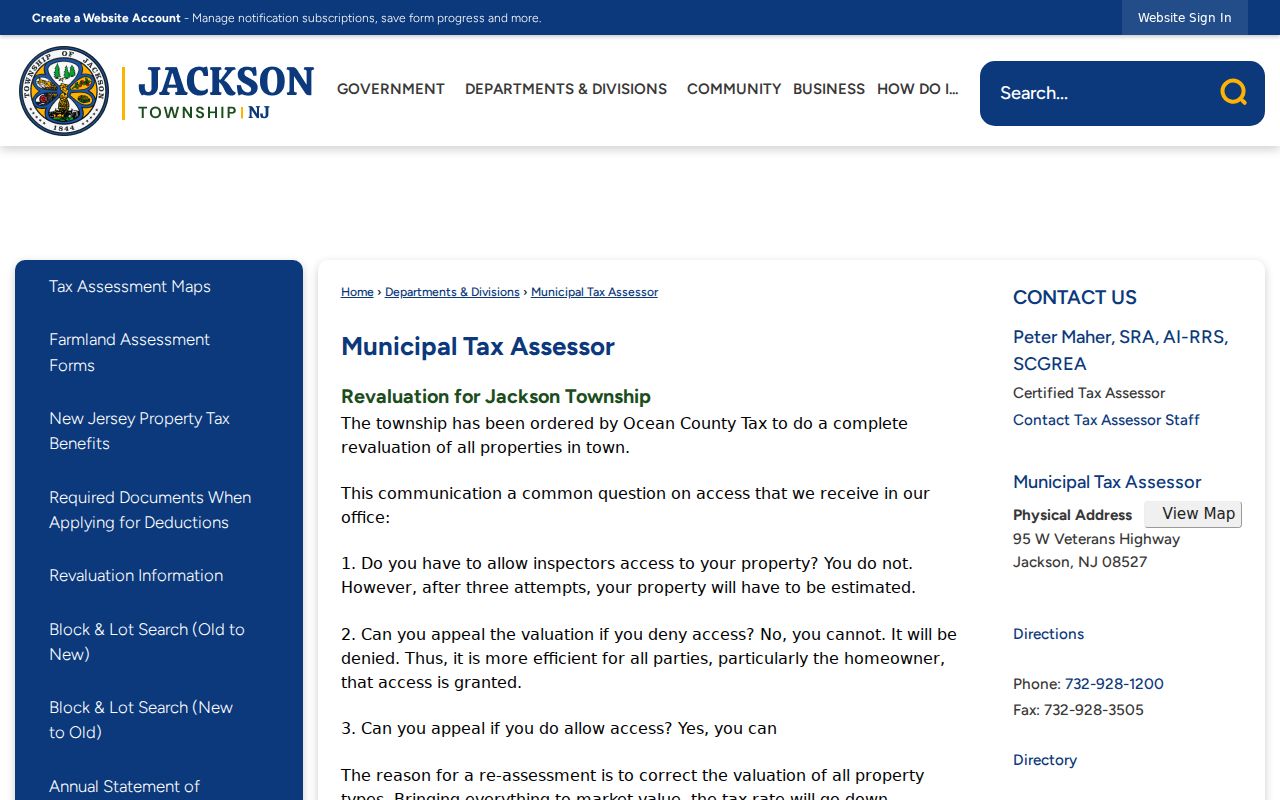
The assessor page is a route for parcel and assessment questions. It does not turn an assessment record into a complete address roster.
Note: Record the tax year and parcel key together so a later search distinguishes an annual assessment snapshot from a recorded transfer.
Read Jackson Township GIS Parcel Context
Ocean County GIS gives Jackson Township address work spatial context. The public map can show parcels, cadastral information, easements, rights-of-way, imagery, zoning, flood areas, wetlands, streams, subdivision or site-plan material, and municipal boundaries. These layers can explain why a block and lot appears beside a road, or why a legal-description search needs more than a modern street number. They are not a survey and do not establish title.
Begin at the parcel rather than promising a whole-street export. The research verified the public layers, but did not establish a Jackson-specific radius or whole-street roster control. Pan and zoom to the location, select or identify the parcel where the viewer permits, note the parcel identifier and layer date, then carry that identifier into the tax and clerk systems. An easement, flood zone, or right-of-way crossing multiple parcels is a shared geographic feature, not evidence of a relationship among the parties tied to those parcels.
The Ocean County GIS program page describes the county’s parcel and map resources.
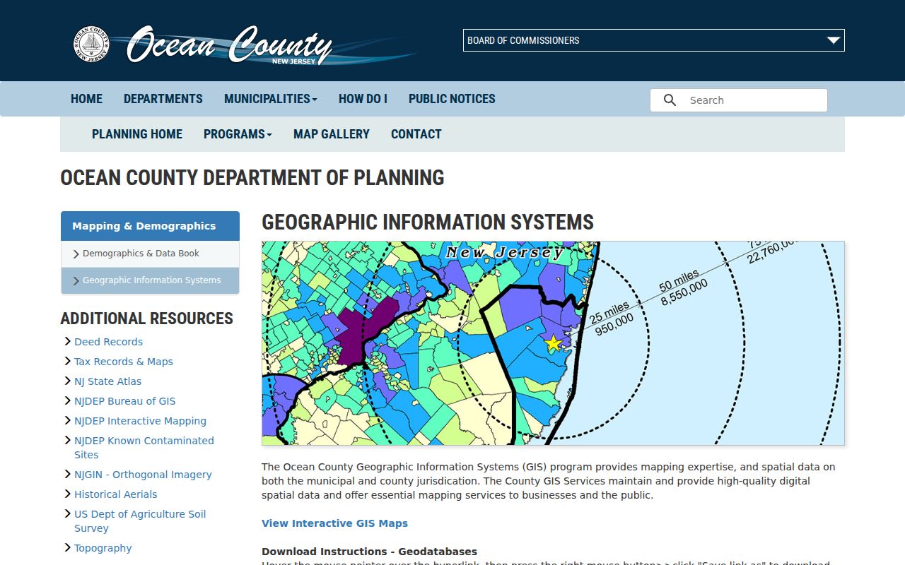
The GIS program supplies map context for a street and parcel. Check the layer’s date and County steward’s update notes before relying on it for a time-sensitive question.
Jackson’s road map, tax maps, zoning map, and GIS answer different questions. The municipal road map helps normalize a named road and community reference. A tax map is a visual inventory tied to legal documents. The GIS shows present mapped context. Use a deed or recorded plat when the question turns on what was actually filed.
Search Jackson Township Deeds by Street
The Ocean County Clerk’s SearchNG index states recording coverage from April 1, 1977. It can be searched by party name, document type, town, date range, consideration, instrument number, book and page, lot and block, legal description, map number, district, and parcel-related fields. For an address question, start with the parcel identifiers or a carefully limited town and date range. Then test both sides of a transfer and any spelling variants.
Do not limit the query to deeds when the address story may involve a mortgage, discharge, easement, lien, subdivision, vacation, tax-sale certificate, or corrective filing. SearchNG presents status and replacement or correction indicators. Preserve the instrument number, date, document type, book information, and status before requesting a copy. An index entry is not a certified copy, and a deed party need not identify a present occupant.
| SearchNG result field | Street-research use |
|---|---|
| Party role and name | Shows the party position in the recorded filing, not a current household roster. |
| Town and document type | Limits a common name to the recorded municipality and filing category. |
| Instrument number and recording date | Provides the strongest exact key for a later clerk request or citation. |
| Book or page and legal line | Connects the index hit to the recorded-description trail. |
| Status or replacement marker | Signals that a related corrective or replacement filing may need review. |
The Ocean County Clerk SearchNG landing page shows the official search route and instructions.
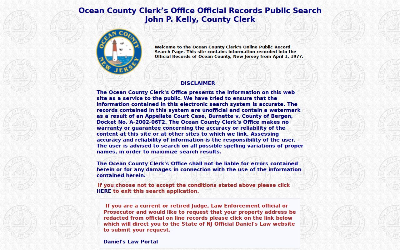
Use the clerk index as a filing trail. The Recording Office can provide the right copy or certification route when the index result needs verification.
The County Clerk’s Recording Office is at 118 Washington Street, Room 112, Toms River. Its recording desk phone is (732) 929-2110, the clerk main line is (732) 929-2018, and the office also accepts mail, courier, fax, and in-person routes. Ask whether the request is for an index result, an image, an uncertified copy, a certified copy, or a non-recording file. Those are different products.
Compare Jackson Township Address Records
Address-keyed records form the middle of a Jackson Township street search. The table separates what each custodian can show from what the record cannot prove. Use the tax key to connect the property and map systems. Use the clerk index for recorded filings. Request local permit or code material by exact address, date range, and record category. Voter information follows a separate lawful county request process rather than a live street-name tool.
| Address source | Jackson keeper | Record clue | Access path |
|---|---|---|---|
| Tax list and assessment | Ocean County Tax Board and Jackson assessor | Location, block, lot, qualifier, class, and annual assessment context | Online search, assessor office, or copy request |
| Parcel and GIS layers | Ocean County Planning and GIS | Parcel geometry, overlays, adjoining parcel context, zoning, and map layers | Public viewer and county mapping resources |
| Recorded instruments | Ocean County Clerk | Transfers, liens, easements, maps, dates, and party roles | SearchNG index, then clerk copy or certification route |
| Permit or code file | Jackson Township custodian | Address-specific permit, inspection, complaint, or land-use chronology | Narrow office inquiry or OPRA request, subject to redaction |
| Election record | Ocean County Board of Elections | Lawfully released address, status, or district fields if included in the requested file | Signed county request under the board’s rules |
A parcel number does not merge these systems into one record. The tax list is organized for assessment, GIS for map geometry, and the clerk system for recorded instruments. A map may lag a filing, and a recorded filing may predate an annual assessment update. Keep the source URL, search date, and record date with every note.
Define Jackson Township Street Terms
Old and current Jackson Township address research becomes clearer when the address terms stay separate. The same physical place can have a delivery address, a tax-map identifier, a legal description, and a mapped polygon. Each is useful, but each belongs to a different custodian and time frame.
- Parcel
- A mapped tax or land unit used to connect an address with block, lot, qualifier, and assessment information.
- Situs address
- The physical location tied to the parcel. It can differ from a mailing address used for notices.
- Plat or subdivision map
- A recorded map that can show how land was divided or laid out. It is more specific than a road label.
- Criss-cross directory
- An address-to-name directory format, if a dated volume is held by a library or archive. Exact Jackson runs were not confirmed in the research.
For a pre-digital street question, record the version of the address printed by the historical source. A modern parcel number or postal convention should not silently replace the source’s wording. Jackson was created in 1844, and Ocean County followed in 1850, so older material can also sit in a different jurisdictional series.
Note: Keep an original street spelling beside a normalized search term, especially when a directory, map, or newspaper uses a community name.
Request Jackson Township Address Files
When an address search needs a local permit, code, map, or planning file, describe the narrow record sought. A request for a street-number inspection, permit index, zoning or land-use item, road dedication, or map gives the municipal custodian a usable starting point. A broad request for everything connected to a person does not. Permit files may contain only a permit number or index card, so the absence of a full packet does not prove that no work happened.
Jackson’s JustFOIA portal began accepting municipal records requests on March 16, 2026. The portal supplements mail, hand delivery, fax, email, phone confirmation, and in-person inspection channels. The older request form documents inspection, pickup, mail, fax, and email choices. Jackson’s OPRA contact is opra@jacksontwpnj.net and (732) 928-1200. The research reports a usual seven-business-day response period, though review can take longer in the documented cases.
Jackson’s stated page rates are $0.05 for a letter-size page and $0.07 for a legal-size page, with actual-cost, delivery, special-charge, and deposit rules where applicable. Confirm a current estimate before paying. Under the New Jersey Open Public Records Act, some material must be withheld or redacted, including protected identifiers and certain investigative information.
Trace Jackson Township Street History
For a past address, layer sources by their dates. The county clerk index starts at its stated 1977 date. Earlier deed books or microfilm require confirmation from the Clerk, State Archives, or another documented repository because the exact pre-1977 Jackson cutoff was not captured. The Ocean County Library, Ocean County Historical Society, and State Archives are the fallback chain for older directories, newspapers, census material, maps, and family-history leads.
The research did not establish a township-wide street renumbering, a public utility-customer lookup, a school-zone finder, or a specific set of Jackson reverse-directory years. Those are meaningful gaps, not an invitation to guess. Check an old street reference against a dated map, directory, newspaper, deed description, and parcel context. The Jackson Township city directory collections are the better route when the question turns from a present street record to historical household sources.
OCHS records include a Jackson death-record collection for 1850 through 1867 and an alphabetic family-file system. They can supply leads, but a compiled note should be checked against the cited original or another independent record. A library reference desk can also confirm whether a specific city, telephone, or criss-cross volume is actually available.
Keep Jackson Township Street Searches Lawful
A street search cannot produce a complete household list. Public parcel records, map layers, recorded documents, and election material each have limits. A tax-list owner may not be at the property. A deed party may have a historical role only. A ZIP result does not confirm a person at an address. Public sources also do not make protected addresses, personal contact details, utility accounts, motor-vehicle records, or redacted fields fair game for another request.
Lawful use. Use Jackson Township address records for personal, civic, family-history, or property research. Do not use a street search to stalk, harass, intimidate, or harm another person.
New Jersey’s Address Confidentiality Program supplies a substitute address for eligible participants, and Daniel’s Law provides special protections for covered officials and their families. OPRA, court rules, voter rules, and the federal Driver Privacy Protection Act set separate boundaries. Do not try to reconstruct a redacted field by combining results from other records.
Check Jackson Township Street and ZIP Lines
Postal geography is not a municipal boundary. USPS Label List L007 identifies 08527 for Jackson effective August 1, 2025, but an exact address still needs a USPS By Address result and county parcel context. The research flags several nearby ZIP codes as unconfirmed edge leads, not verified Jackson Township coverage. A road map can normalize a street name, but it is not a ZIP boundary map.
Keep the postal city, parcel municipality, and map location as three separate facts. That simple habit avoids a common street-directory error: treating a Jackson mailing label as proof of the parcel’s jurisdiction or treating a parcel boundary as a postal delivery answer. For a disputed edge address, capture the USPS result date, the tax parcel municipality, and the GIS layer date before relying on the result.
Note: A ZIP label or map pin identifies delivery or location context, not a verified current person at that address.